TOPSOIL
Adapted from the project website
About
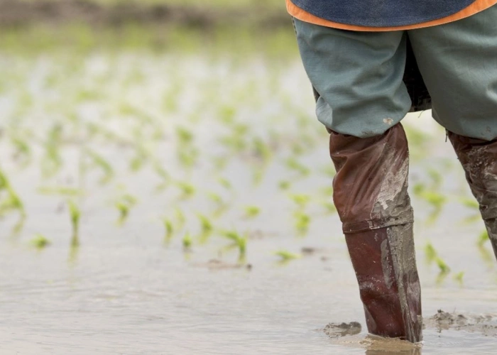
When considering the major risks resulting from climate change, people often watch the skies, expecting extreme rainfall events and storm surges to have an impact on their daily lives and working lives. However, the water under our feet is also known to be a major actor when it comes to the quality and quantity of our water resources.
Many of our day-to-day activities are tied up to the upper part of the soil layer. This is where we cultivate crops, build infrastructure and develop our modern societies. In addition, the main hydrological and chemical dynamics are also represented in this layer of the subsurface. Dialogues with the most important stakeholders in the North Sea Region, at local, regional and EU level, have pointed out that climate change is having a rapid impact on the topsoil- and groundwater layers. As a result, many regions in Europe are faced with an increased threat of flooding due to rising groundwater, while other regions are facing drought and a scarcity of drinking water.
Objectives
The TOPSOIL project explores the possibilities of using the topsoil layers to solve current and future water challenges. It looks beneath the surface of the ground, predicts and finds solutions for climate related threats, like flooding during wet periods and drought during warmer seasons.
The overall objective of the project is the joint development of methods to describe and manage the uppermost 30m of the subsurface, in order to improve the climate resilience of the North Sea Region. In addition, the project will demonstrate a practical implementation of solutions in 16 pilot projects.
- Flooding in towns and agricultural areas due to the rising groundwater table caused by changed precipitation patterns.
- Saltwater intrusion into freshwater reserves due to rising sea levels and changed irrigation, drainage and drinking water demands.
- The need for a groundwater buffer to store water in periods of excess rainfall. The buffer of fresh water can be used for irrigation purposes during dry periods.
- Better knowledge and management of soil conditions, which will provide better resilience to extreme rainfall events, improve water quality and crop yields.
- The capacity to break down nutrients and other environmentally hazardous pollutants in the uppermost layers is yet unexplored. By improving our understanding, better land management can be implemented.
Duration
2015 - 2021