Bangladesh Goes Fresh
Adapted from the project website
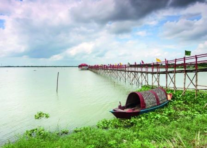
In the coastal zone of Bangladesh, available water sources are either prone to contamination (surface water / ponds) or salinisation (groundwater). Fresh groundwater is only present in specific locations and depths, depending on the geological setting. It is therefore of paramount importance to determine these locations in order to provide the population with safe drinking water. To extract fresh water from the subsurface, tube-wells are drilled, up to sometimes 100’s of meters. To increase the success-rate of these drillings, it is important to identify zones of potential productive drillings.
The project aims to analyse if it is feasible to map fresh groundwater from the air in the coastal zone of Bangladesh. The technique comprises a measuring device that is towed under a helicopter which detects the electrical conductivity of the subsurface with depths down to 300 m. Conductivity and groundwater salinity are closely linked and, therefore, measuring conductivity offers a good way to map the occurrence of fresh (or saline) groundwater. By mapping through a helicopter with survey equipment, flying in lines over the survey area, a 20 x 20 km survey can be flown in roughly four to five days. This is a fast and cost effective way of mapping salinity in groundwater.
This feasibility study will benefit the Department of Public Health Engineering (DPHE), which is responsible for delivering drinking water in Bangladesh. DHPE also provides support to the local government institutions in the development of operation and maintenance of water & sanitation facilities. The feasibility study will address issues that are relevant to carry out a possible next phase: a pilot-area (20 km x 20 km) south of Khulna.
- Work with DPHE on exploring a methodology for efficiently using the airborne data and information from the potential survey and integrating this information into groundwater management and the selection of tube well locations.
- Discussions with financing institutions on the financing of a large scale mapping project. The project partner(s) will explore the possibilities of a business case for a large scale mapping project.
- Partners will investigate existing data that can be used to supplement / support the selection of a suitable pilot area.
- A meeting will be held with the Bangladesh Ministry of Defence to discuss obtaining flying permits and possibilities for gaining access to landing areas.
- The partners will start searching for suitable helicopter operators within reasonable proximity of the survey area which are able to fly the survey to the standards recommended by the company supplying the survey technology.
- The partners will request information on survey parameters and flying requirements from geophysical survey companies and with this in mind will design a survey-plan for the pilot area.
- The partners will undertake a field study to collect all necessary information for a logistical plan such as survey hazards, infrastructure, emergency rescue coordination centres and medical facilities.
- The partners will design a detailed implementation plan for the pilot project including the costs and SWOT analysis, necessary resources, etc.